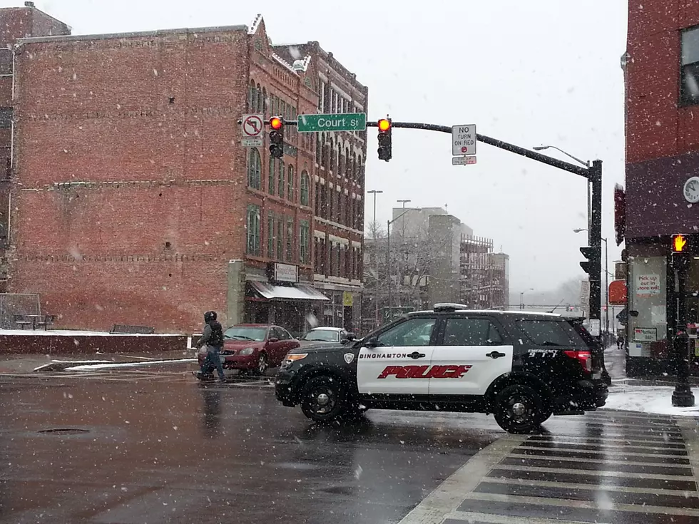
Spring Snow Complicates Commute in Twin Tiers
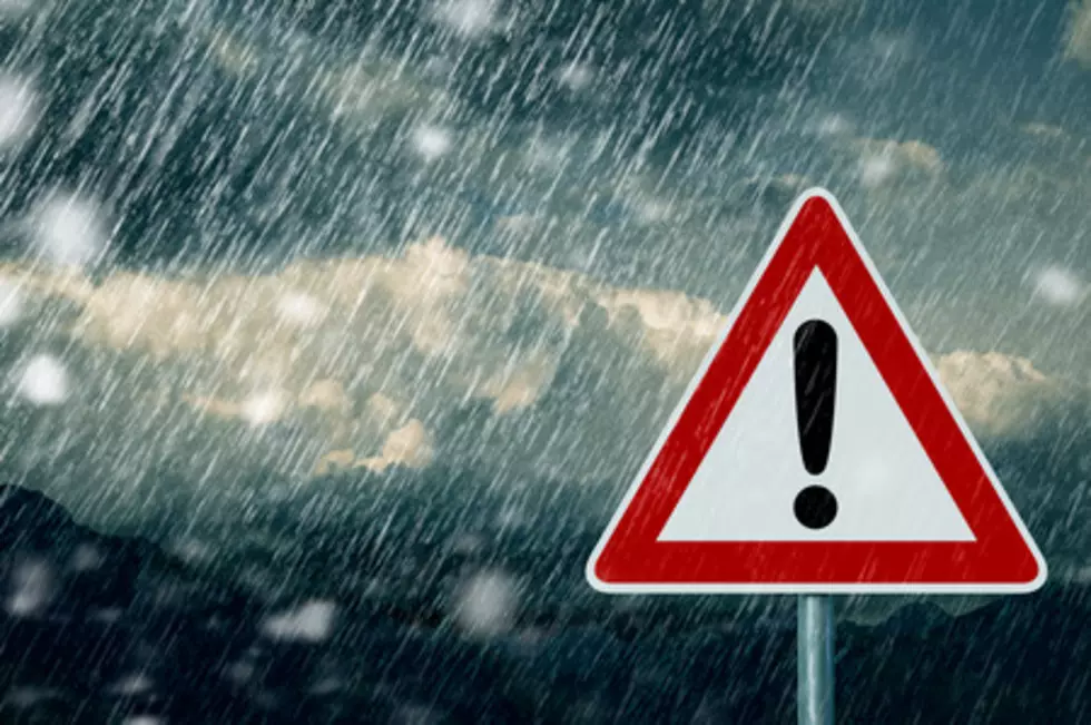
Motorists may encounter some road conditions more akin to November 22 than April 22 as late-season snow and cold visit the Twin Tiers.

At around 3 a.m. April 22, the National Weather Service in Binghamton issued a special weather statement warning of early morning lake effect snow showers across Central New York.
Officials say a combination of brief bursts of heavier snow showers, large snowflakes and gusty winds could reduce visibility to a half mile or less at times.

Similar conditions hit the Greater Binghamton area at around midday April 21 with snow coating lawns and colder services before melting away with a little afternoon sun.
Still a little intermittent light snow was recorded on-and-off throughout the overnight hours.
The National Weather Service warns that colder and untreated road surfaces would be prone to quick accumulation of snow that could lead to pockets of hazardous travel conditions before the snow was expected to taper off and mix with rain by late morning.
Motorists are advised to slow down and allot extra time to get where they are going until conditions improve.
PLAY BALL! The Top 7 Sports Venues in the Southern Tier
More From WNBF News Radio 1290 AM & 92.1 FM