Southern Tier Added into New York Drought Watch
All of the Southern Tier and Central New York are added into the watch area on a New York State Department of Environmental Conservation drought condition map.
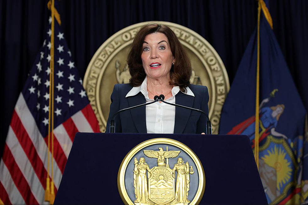
Governor Kathy Hochul on August 16 directed the DEC to issue an updated drought watch to now include most New York Counties except those in the Adirondacks, Eastern Great Lakes and New York Metropolitan regions. The directive is particularly targeted at those residents dependent on private groundwater wells, asking them to conserve water whenever possible in the coming weeks.
Hochul says: “While recent rains have helped, severe dry conditions continue to persist across the state.” The Democrat adds: “Simple steps to reduce water consumption will be crucial to our efforts to prevent any increased drought levels.”
A drought watch is the first of four levels of State drought advisories that go from watch, warning, emergency and, finally disaster.
No mandatory restrictions are carried by a drought watch.
The previous map had the Western Southern Tier and part of the Finger Lakes under a drought watch.
In addition to residents being asked to water lawns only when necessary, using method that avoid waste, water in the early morning to reduce evaporation, capture and reuse rainwater and water from dehumidifiers and air conditioners to water plants, make sure there are no leaky pipes, hoses and faucets and raise the cutting height on lawnmowers, public water suppliers are urged to assess the current situation, promote voluntary conservation and take appropriate actions to manage risk.

The drought watch is triggered by the State Drought Index. That reflects the levels of precipitation as well as the levels of the reservoirs and lakes and the flow of streams and groundwater.
The National Weather Service outlook for the rest of the summer is predicting more above normal temperatures and below normal precipitation.
In addition to conserving water and the expansion of the drought watch area, New York is still encouraging people enjoying the outdoors to take steps to reduce the risk of wildfires. The majority of the state is currently at a high risk for fires.
LOOK: The most extreme temperatures in the history of every state
LOOK: The most expensive weather and climate disasters in recent decades
More From WNBF News Radio 1290 AM & 92.1 FM


