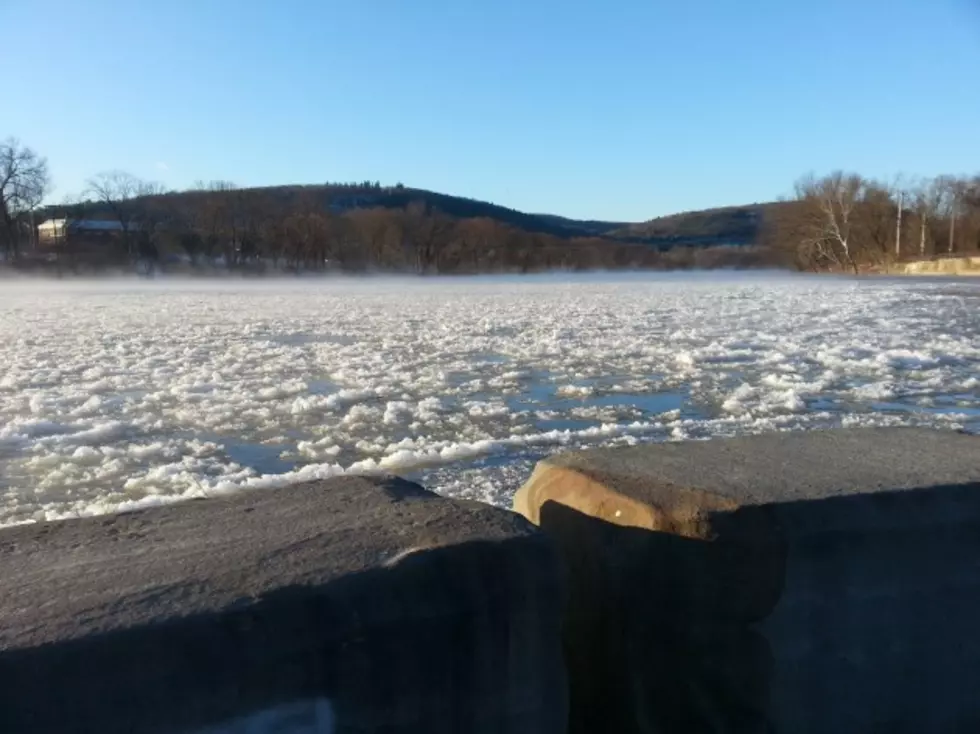
Southern Tier Warm-up Could Result In Ice Jams
Milder temperatures are predicted for the Twin Tiers at the end of the week and that will increase the risk of ice jam flooding.
National Weather Service forecasters at the Greater Binghamton Airport say Friday's high is expected to be in the mid to upper 30s and daytime highs will reach the mid 40s over the weekend.
Hydrologist Jim Brewster says there likely will be a greater buildup of ice on area rivers and streams as temperatures rise into the 40s. Some rain also is the in the forecast for Saturday and Sunday.
Brewster says people who live near a river or stream should stay aware of conditions.
Ice jam flooding tends to be localized. Brewster says forecasters treat ice jams "exactly like flash floods" that happen at other times of the year, noting conditions can change rapidly.
Brewster says people who spot ice jam flooding should notify local officials at once so appropriate action may be taken.
Some flooding occurred Monday in Ithaca as a result of a Cascadilla Creek ice jam. Crews continued to work Tuesday to remove ice that threatened to cause additional flooding.
In Chenango County, an ice jam on the Chenango River was being monitored. Water from the river was reported to be spilling into the flood plain south of the village of Greene. It was not causing problems with any roadways.
More From WNBF News Radio 1290 AM & 92.1 FM