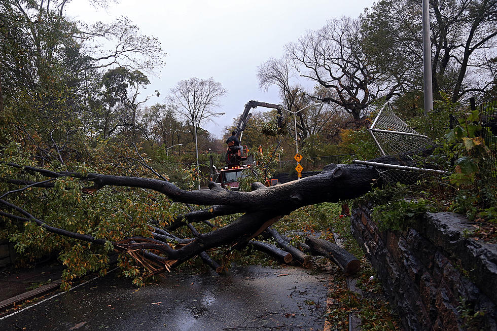
Sandy Now ‘Post-Tropical'; Threat Far From Over
That National Weather Service National Hurricane Center is now saying that what was Hurricane Sandy has lost it's tropical characteristics. The storm, now being dubbed "Super Storm Sandy" is still packing a punch with 85 mile per hour winds and plenty of rain. The storm officially made landfall at 8:04 PM on the Southern Coast of New Jersey.
At last report, the tidal surge near Battery City, NY on the tip of Manhattan, has risen over a foot in the last half-hour.
Soaking rains still continue in the Washington, DC and Baltimore, MD areas. A wide swath of powerful winds continue to batter much of the East Coast. One report lists a 94 mile per hour wind gust on Long Island.
The weather conditions in the Southern Tier have been mild so far but officials are urging residents to not let their guard down. Strong winds are expected to continue through the overnight hours and trees and power lines are likely to be affected. Heavy rains overnight are also still possible which could spawn some flash flooding. However, any serious river flooding is not expected at this time.
NYSEG is now reporting 970 residents without power in Broome County, 233 homes in Chenango County, and 217 in Tioga County.
A few reminders for Southern Tier residents:
- There is a State of Emergency for Broome County. No one should be on the roadways except emergency personnel.
- B.C. Transit service has been suspended until 5 a.m. Tuesday morning.
- There is a State of Emergency for Chenango County.
- There is a State of Emergency for the Village of Owego.
- All Tioga County governmental agencies will be closed on Tuesday.
- For the latest school closings click HERE.
WNBF.com will have more updates throughout the evening.
More From WNBF News Radio 1290 AM & 92.1 FM