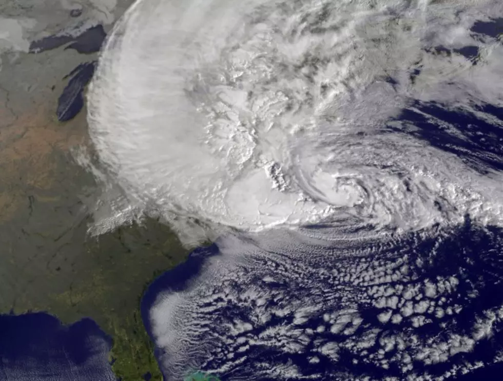
Hurricane Sandy Intensifying As It Approaches East Coast
The latest advisory from the National Weather Service Hurricane Center shows that Sandy is intensifying as it begins to turn towards the Eastern Seaboard.
The NWS says that the maximum sustained winds of the storm have increased to 90 miles per hour. The storm is moving north-northwest at nearly 18 miles per hour.
The storm is expected to turn more westerly over the next few hours and is forecast to make landfall this evening along or just south of the New Jersey coast.
Once the storm makes landfall, it is forecast to quickly weaken, however, the impacts of Sandy will be felt for several days as she slowly moves out of the northeast.
Hurricane Sandy is a massive storm spanning nearly 1000 miles, meaning that nearly 60 million people will be in some way affected.
Locally, long periods of strong winds will cause widespread power outages. Heavy soaking rains are forecast for the Southern Tier this evening and overnight. As of right now, the National Weather Service says that major river flooding is unlikely. However, flash flooding and minor or moderate river flooding are possible.
Stay tuned to News Radio 1290 and wnbf.com for more information on Hurricane Sandy.
More From WNBF News Radio 1290 AM & 92.1 FM


