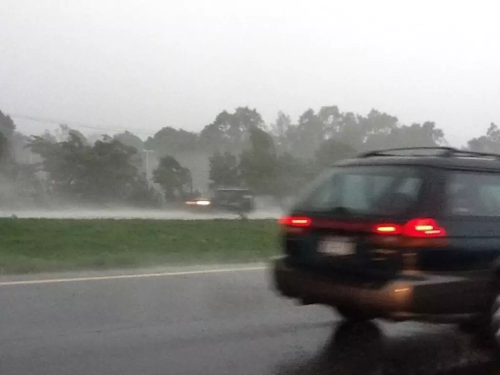
Binghamton Braces for High Winds, Heavy Rain
The Binghamton area may wind up being hit with some of the highest winds as what's now Hurricane Sandy hits the northeastern United States.
David Nicosia, warning coordination meteorologist for the National Weather Service at Greater Binghamton Airport, says "this is a tough one" for forecasters because "we haven't seen something like this."
Speaking Friday morning on WNBF Radio's Binghamton Now program, Nicosia said it appears there's a 25 percent chance that the Twin Tiers could experience tropical storm-force winds. That means the region could have sustained winds of 40 mph with gusts up to 60 mph. Those strong winds might occur over a period of four or five hours.
If that scenario happens, Nicosia said the region could expect widespread power outages.
The latest forecasts indicate the Binghamton area may receive three to five inches of rain early next week. That would cause minor to moderate river flooding. Flash flooding also would be possible.
The rain and wind problems appear likely from Monday through Wednesday.
Nicosia said he believes some spots -- in the mid-Atlantic states, the Northeast or southern New England -- will have a "flood and high-wind disaster."
Which communities will get hit the hardest? Nicosia said: "None of us can say with certainty who is going to get the brunt of this storm. Everybody needs to prepare for the worst."
Nicosia noted there's still a possibility that the forecast could change and the storm could have less of an impact on the Binghamton area.
Stay informed with the latest weather updates on News Radio 1290 WNBF and on wnbf.com.
More From WNBF News Radio 1290 AM & 92.1 FM