Binghamton Braces for Cold and Storm Activity
Bob Joseph/WNBF News [file][/caption]The snow deficit in the Binghamton region may continue for several more days but there's the potential for some big changes in the region's weather ahead.
Temperatures will rise above normal for a few days but forecasters say the return of milder weather won't last long.
Bob Joseph/WNBF News [file][/caption]David Nicosia, warning coordination meteorologist at the National Weather Service Binghamton office, said forecast models indicate a "significant cold shot" will hit the region starting early next week.
Nicosia said that likely will be followed by a change in the jet stream that could lead to the start of some "storm activity." That pattern will provide a "window of opportunity" for a snowstorm. The track of a storm would determine how much snow accumulation could occur in the Twin Tiers.
Weather models suggest the "stormy pattern" may continue from late January into early February.
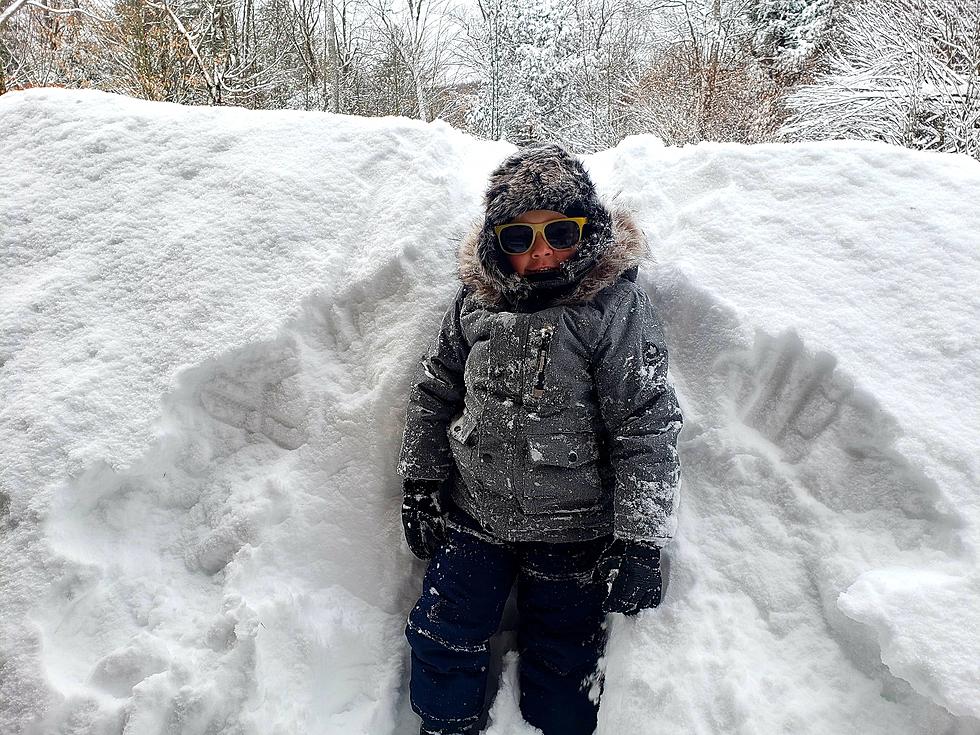
Nicosia said the amount of snow-to-date from fall into early winter has been very low. He said only 4 inches of snow has been recorded at the weather service office in the town of Maine. By this time last year, 29.8 inches of snow had fallen. The normal amount of snow up to this point is 28 inches.
More From WNBF News Radio 1290 AM & 92.1 FM